
Fil:Relief Map of Belarus.png

Storlek på förhandsvisningen: 672 × 600 pixlar. Andra upplösningar: 269 × 240 pixlar | 538 × 480 pixlar | 861 × 768 pixlar | 1 197 × 1 068 pixlar.
Originalfil (1 197 × 1 068 pixlar, filstorlek: 2,39 Mbyte, MIME-typ: image/png)
Sammanfattning
| Beskrivning |
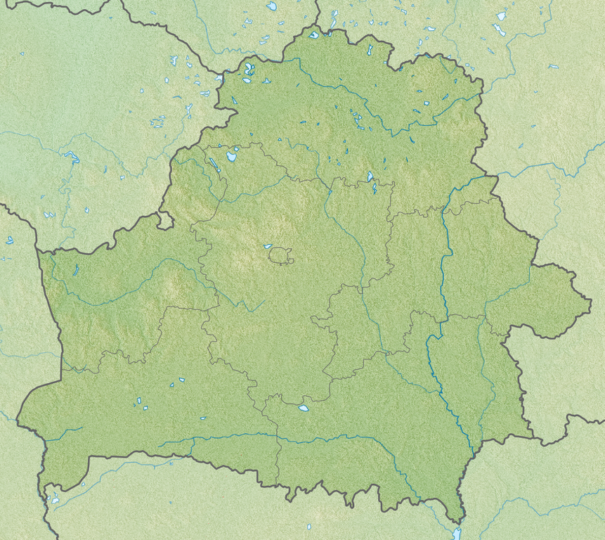
English: Relief map of Belarus
Equirectangular projection, N/S stretching 170 %. Geographic limits of the map:
|
| Datum | |
| Källa | |
| Skapare |
|
Licensiering
Denna fil har gjorts tillgänglig under licensen Creative Commons Erkännande-Dela Lika 3.0 Generisk
- Du är fri:
- att dela – att kopiera, distribuera och sända verket
- att remixa – att skapa bearbetningar
- På följande villkor:
- erkännande – Du måste ge lämpligt erkännande, ange en länk till licensen och indikera om ändringar har gjorts. Du får göra det på ett lämpligt sätt, men inte på ett sätt som antyder att licensgivaren stödjer dig eller din användning.
- dela lika – Om du remixar, transformerar eller bygger vidare på materialet måste du distribuera dina bidrag under samma eller en kompatibel licens som originalet.
Filhistorik
Klicka på ett datum/klockslag för att se filen som den såg ut då.
| Datum/Tid | Miniatyrbild | Dimensioner | Användare | Kommentar | |
|---|---|---|---|---|---|
| nuvarande | 23 april 2013 kl. 04.00 | | 1 197 × 1 068 (2,39 Mbyte) | Ras67 | cropped |
| 27 november 2010 kl. 18.37 |  | 1 200 × 1 072 (2,78 Mbyte) | Виктор В | SRTM3 | |
| 30 augusti 2010 kl. 20.28 |  | 1 200 × 1 072 (1,87 Mbyte) | Виктор В | +реки | |
| 26 augusti 2010 kl. 21.47 |  | 1 000 × 893 (1,48 Mbyte) | Виктор В | == {{int:filedesc}} == {{Information |Description={{en|Relief map of Belarus}} Equirectangular projection, N/S stretching 170 %. Geographic limits of the map: * N: 56.4° N * S: 51.1° N * W: 22.9° E * E: 33.0° E |Source=*[[:File:Belarus |
Filanvändning
Följande sidor länkar till den här bilden:
Global filanvändning
Följande andra wikier använder denna fil:
- Användande på als.wikipedia.org
- Användande på ar.wikipedia.org
- Användande på ast.wikipedia.org
- Användande på av.wikipedia.org
- Användande på azb.wikipedia.org
- Användande på az.wikipedia.org
- Användande på ba.wikipedia.org
- Användande på bcl.wikipedia.org
- Användande på be-tarask.wikipedia.org
- Лукомскае возера
- Балдук
- Глубля
- Глубелька
- Нарач
- Сялява (возера)
- Выганашчанскае возера
- Белае возера (Бешанковіцкі раён)
- Белае возера (Полацкі раён)
- Белае возера (Мёрскі раён)
- Белае возера (Чашніцкі раён)
- Белае возера (Дрысенскі раён)
- Белае возера (Берасьцейскі раён)
- Белае возера (Гарадоцкі раён)
- Белае возера (Расонскі раён)
- Белае возера (Гарадзенскі раён)
- Белае возера (Жыткавіцкі раён)
- Белае возера (Глыбоцкі раён)
- Белае возера (Бярозаўскі раён)
- Князь-возера
- Рычы (возера)
- Струста
- Мядзел (возера)
Visa mer globalt användande av denna fil.